After the big tour in North America last year, this year we decided for an easy to organize tour in Switzerland.
Without having to pack the tandem, we started relaxed from home. On the first day, we drove through the Emmental valley to Lake Sempach, where we spent the night at the campground in Sempach.
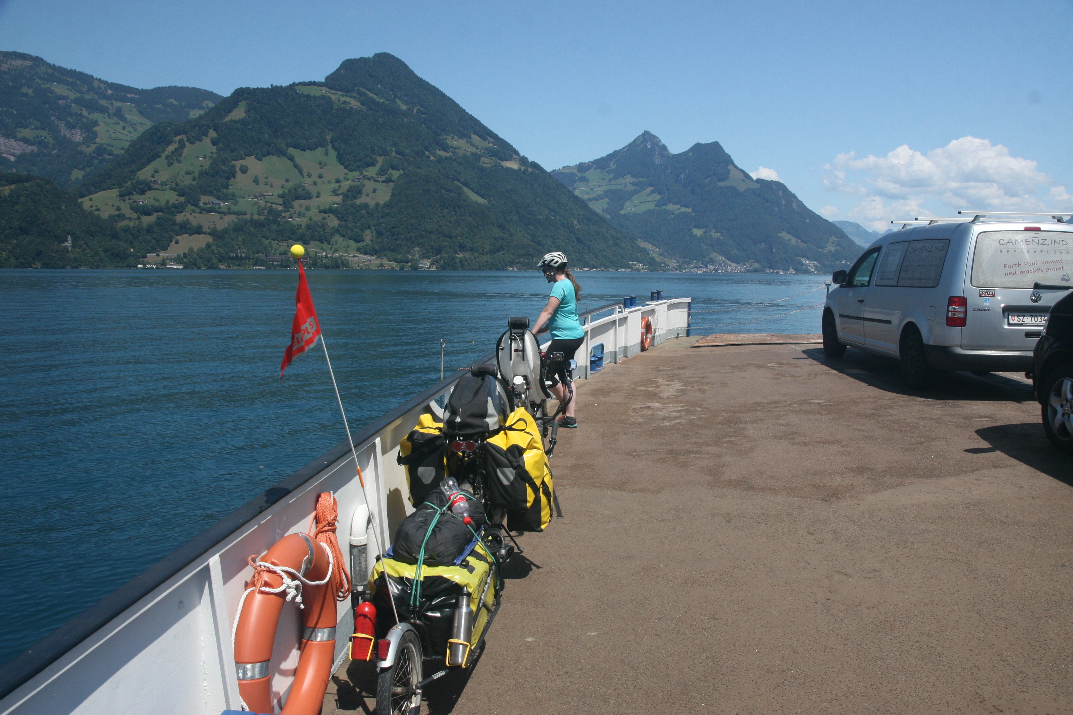
The next day we continued to Lucerne. Due to the detailed planning (we are in Switzerland, nothing will go wrong...) we caught the beautiful but very hilly route along Lake Lucerne from Lucerne... along the Central Railway there would have been a flatter route as well. After an invigorating lunch break in Stansstaad, we crossed the lake by car ferry between Buochs and Gersau. In the early afternoon we pitched the tent at the campground in Brunnen and took a refreshing swim in Lake Lucerne.
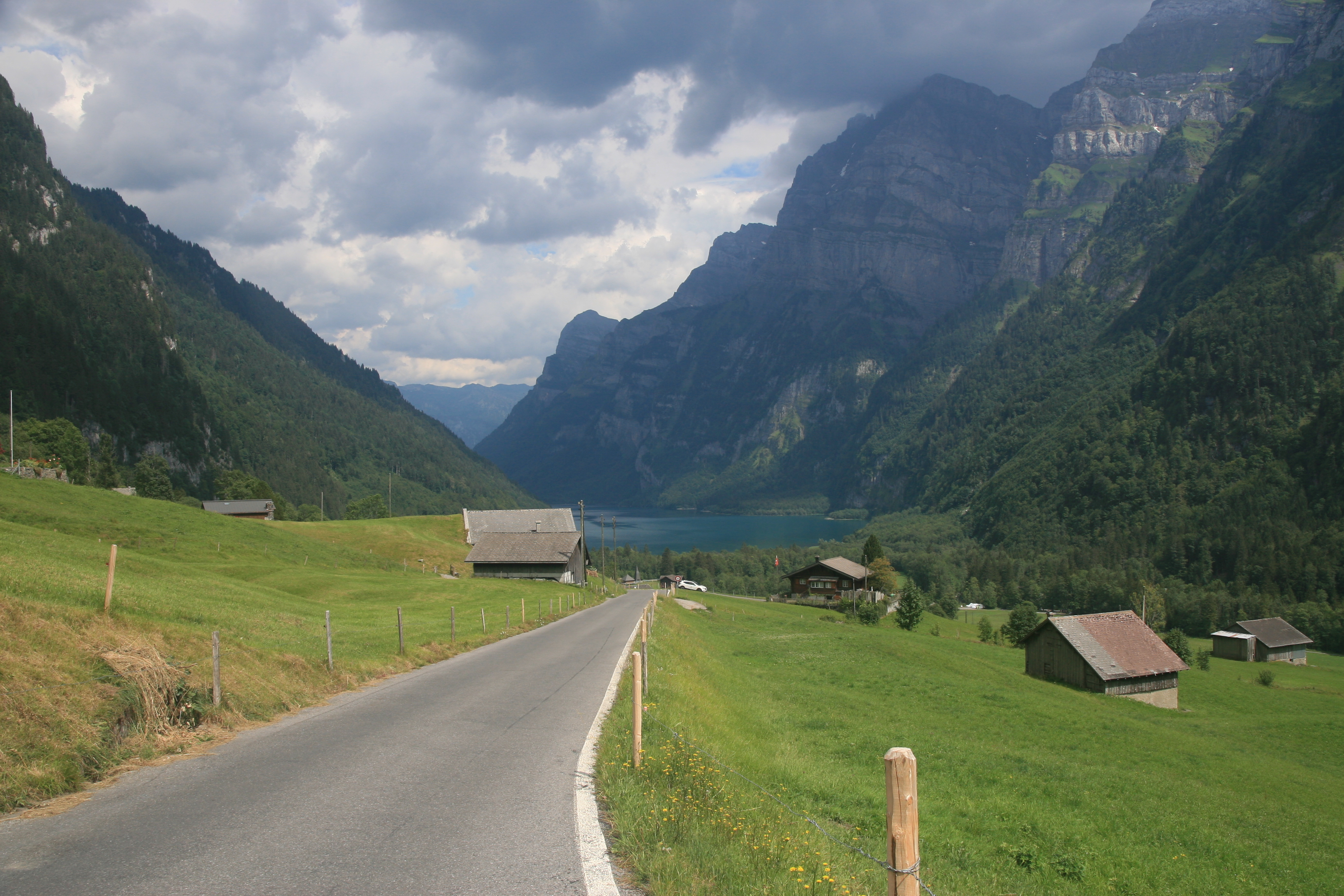
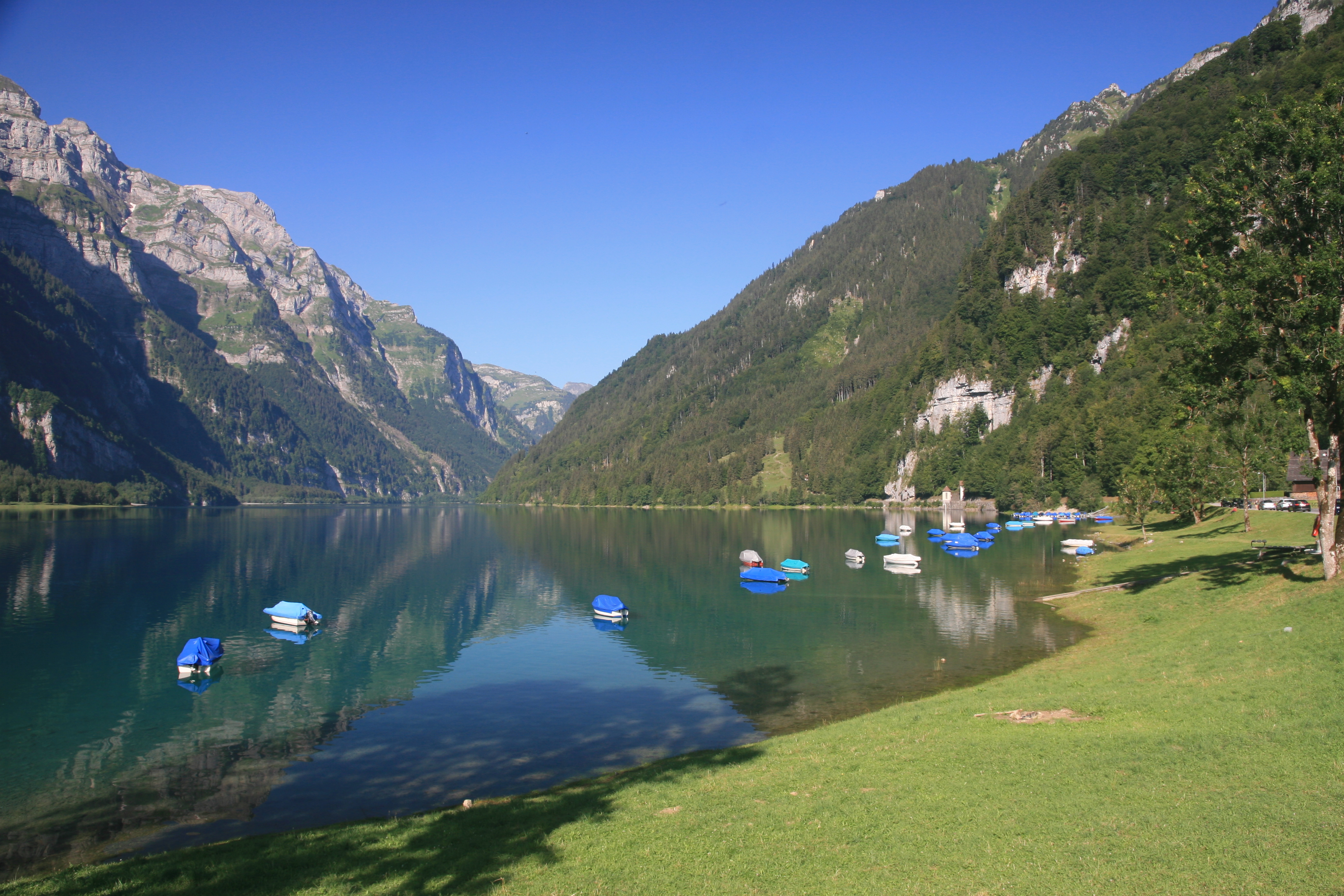
From Brunnen, we had the strenuous climb to the Pragelpass ahead of us via Muoatathal. The climb from the Schwyz side is really steep. It feels like it's only steep once from Muotathal to the pass. After a short descent to the Klöntalersee we reached our destination for the day, the campground at the back of the lake.
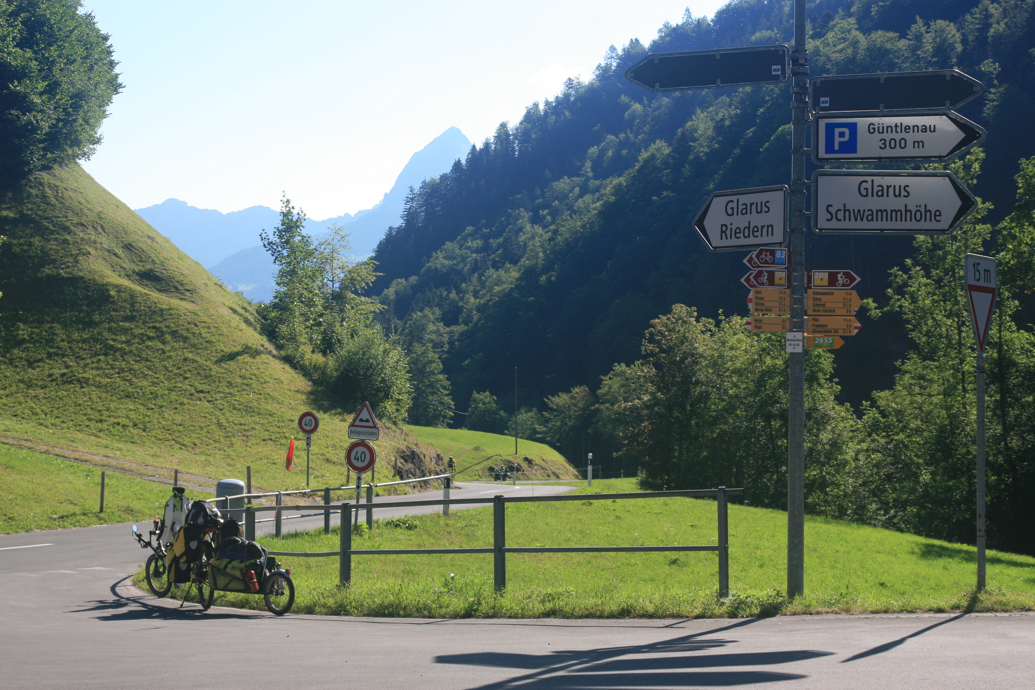
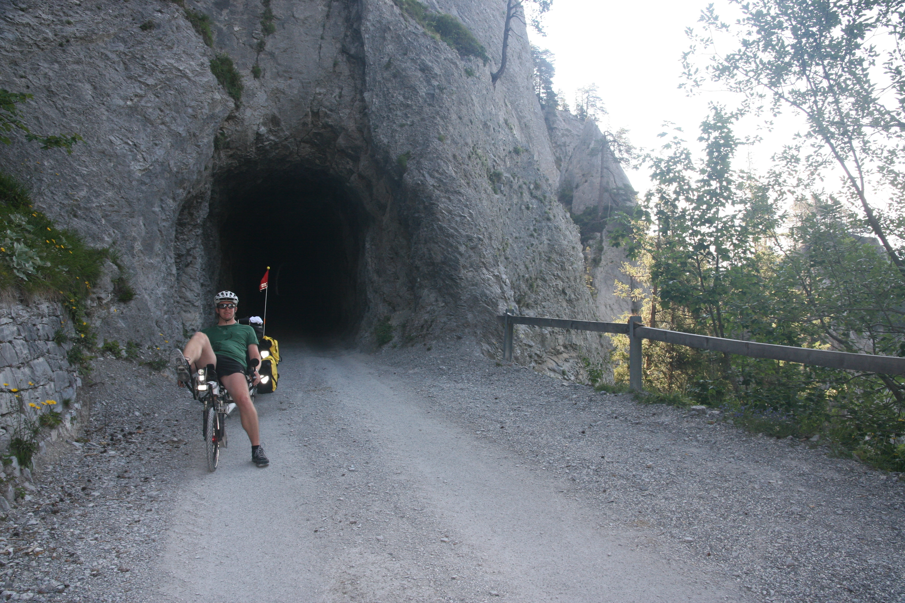
The following day we started with the descent to Glarus and the Walensee. The bike path along the Walensee is an exciting experience at the beginning with its tunnels! After a lunch break at the lake and a rather boring ride through the plain, we then reached the campground of Bad Ragaz.
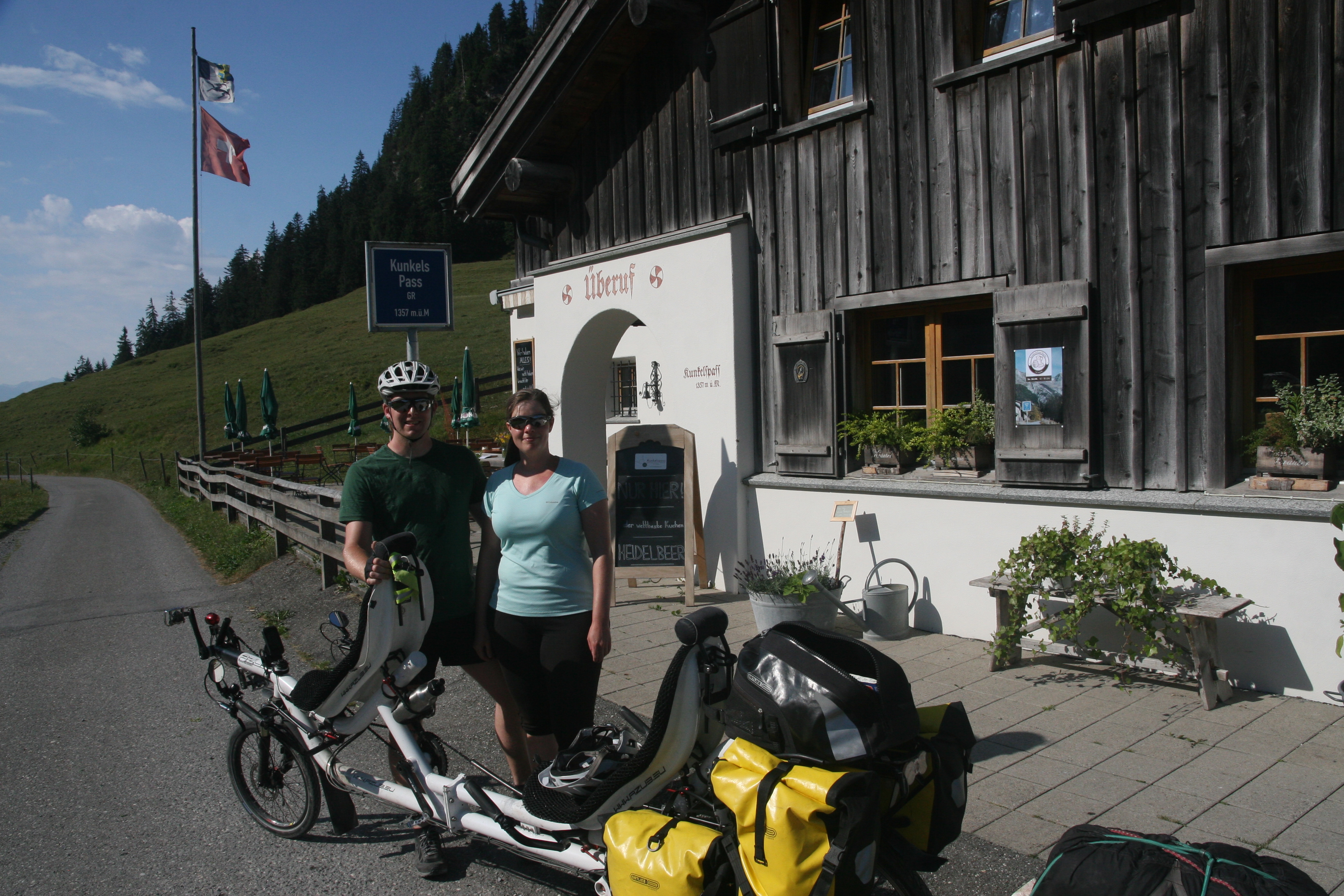
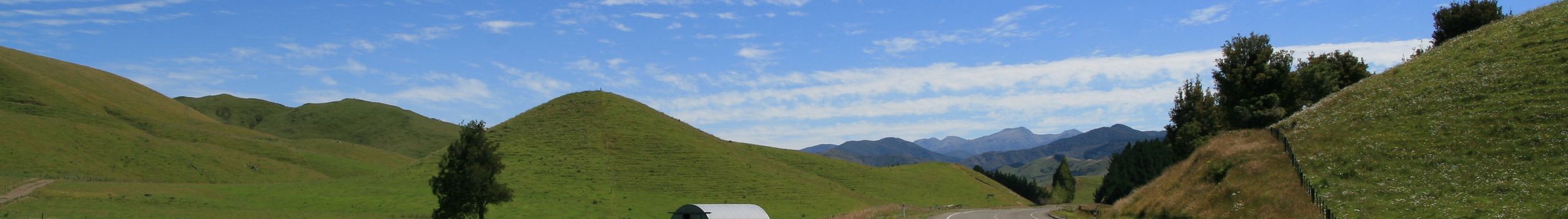
From Bad Ragaz we drove up through the Tamina valley via Pfäfers and turned south in Vättis towards the Kunkelspass. On the pass we spent the night in the mountain inn Überuf.
From the pass, it was a steep descent to Tamins, partly through a narrow, unpaved tunnel with curves. In the opposite direction, this route would not have been drivable for us with our camping luggage! In Tamins it was then also the time to replace the brake pads.
Up to Thusis the route was then relaxing flat. But then it went through the Viamala valley steeply uphill, where we were partly accompanied by rain.
We then stayed at the Andeer campground for two nights for a rest and wash day in the rainy weather. The thermal bath of Andeer was just right for us.
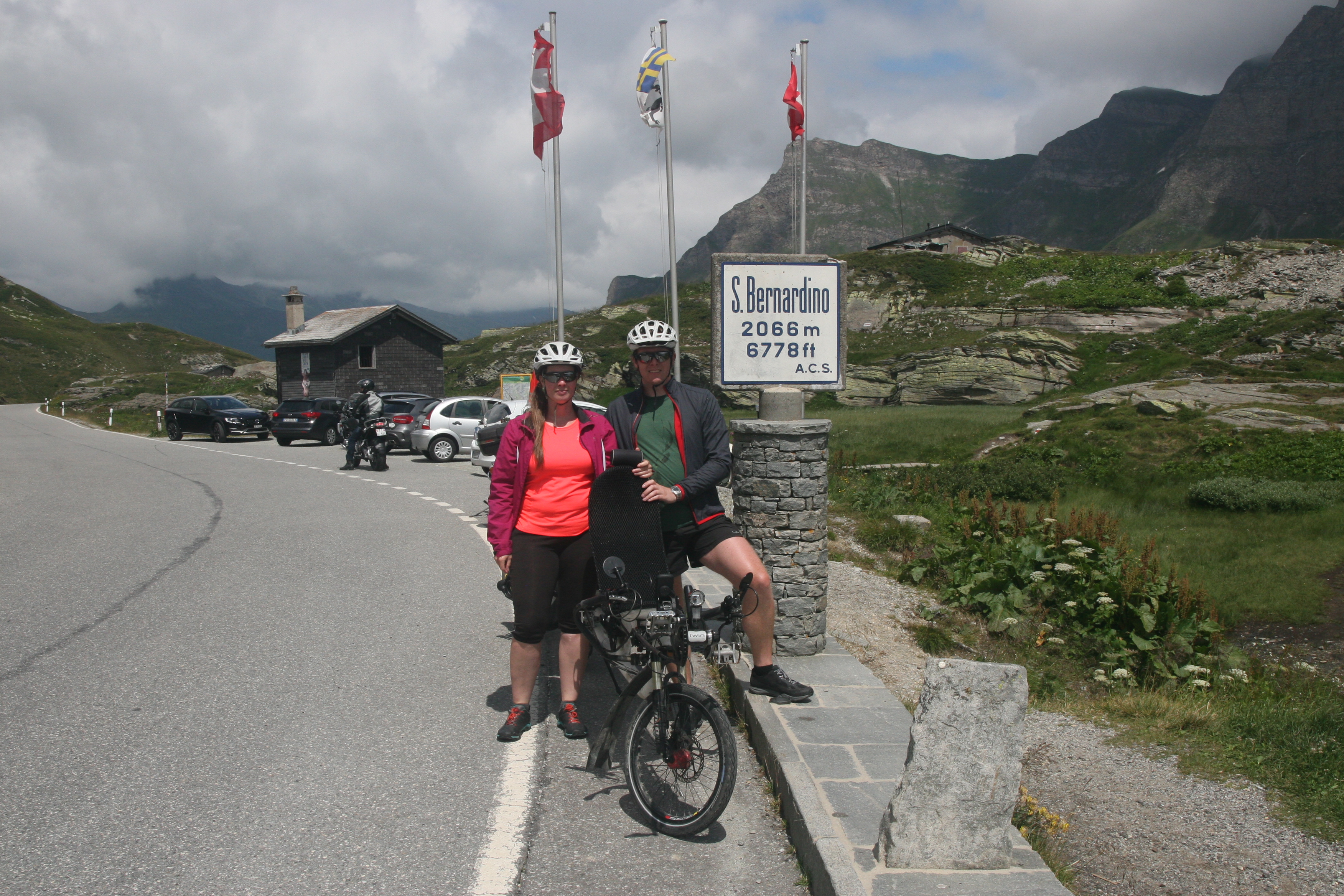
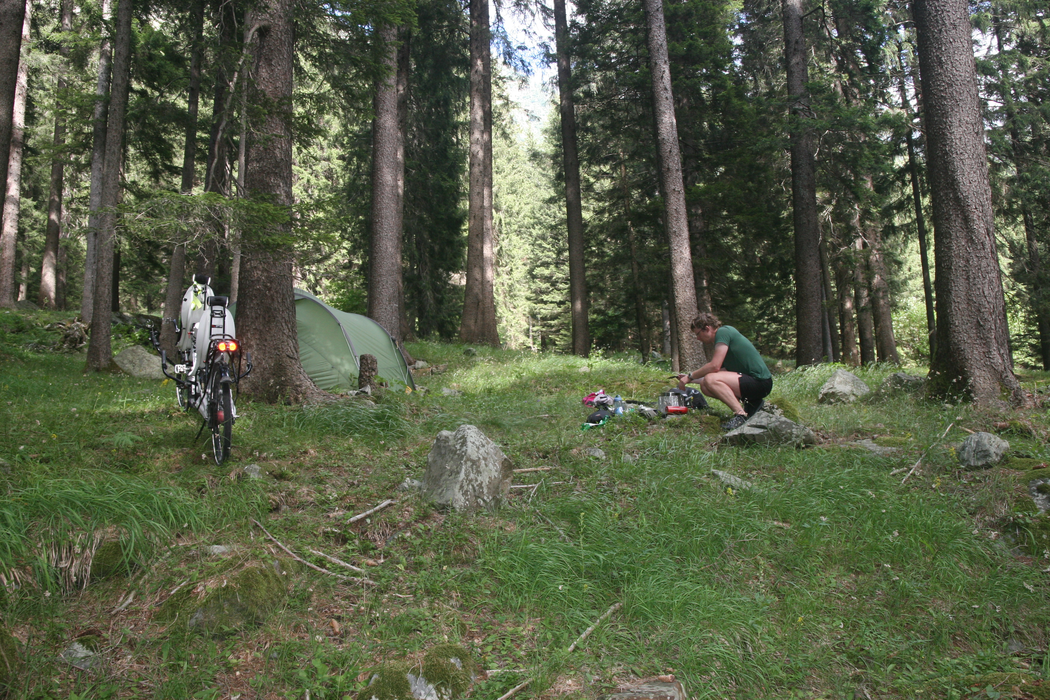
From Andeer we went up again, first through the Roflaschlucht, along the Sufnersee and the Hinterrhein to the village of Hinterrhein. After a refreshing lunch break we drove up the serpentines of the pass road to the San Bernadino. Some of the curves were so narrow that we had to swerve to the opposite lane to master them while driving. Fortunately, this was not a problem due to the low volume of traffic. After reaching the top of the pass, we started looking for a suitable place to spend the night. This was much more difficult than expected, so that we only found one in a forest above Pian San Giacomo.
After the bivouac we went primarily downhill through the Misox. We started at over 1200m and then reached Lago Maggiore in Tenero at about 200m. After the ride in the hot Ticino we pitched the tent in Losone.
To escape the valley heat we made a day trip to Monte Generoso.
After the rest day we drove west through the beautiful Centovalli to Domodossola. After lunch in Domodossola, packing the tandem was on the agenda for the first time on this trip: we then took the direct Regio-Express from Domodossola back to Bern.