Start in the rain and drive on the Trans Canada Highway (TCH)
Already in the night we were woken up once by the rain. In the morning we used a short rain break to start with the tent dismantling...unfortunately it was dry only at the beginning.
Because of the weather we did without a big breakfast and packed our material and us mostly waterproof.
The altitude meters gained the day before we could now convert into warm brake discs in a beautiful descent despite the rain. On the way to TCH we were astonished to see two big coaches coming towards us. We would have liked to observe them at the switchback.
After a few kilometers on the TCH we reached the Nest Village Field, where we enjoyed a big breakfast in the combined General Store / Café. We then visited the Visitor Center to get up to date on roads and bike paths in BC. We watched as tourists were warned about the narrow road with switchback into Yoho Valley.
Still in the rain we drove then on the TCH further in the direction of Golden. At a rest area, from which we could finally drive again without rain clothes, we met a Canadian couple, which was with the bicycles on the way home from the visit of their grandchildren (a way about 1'000km). The two told us about some of their many tours (in the USA alone they rode over 80'000km) ... but they didn't tell us what was still to come on the TCH to Golden. So we decided to spend the night on the same campground and drove on without a clue.
With moderate traffic the TCH was then without rain not so bad. After some time less and less vehicles overtook us and when we finally reached the fully developed part with two wide lanes plus shoulder per direction and game fences, we were almost alone. The rescue vehicles coming towards us were then the explanation for the traffic reduction. Some time later, the traffic increased again, but it was bearable thanks to the well-built section.
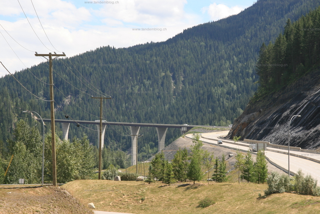
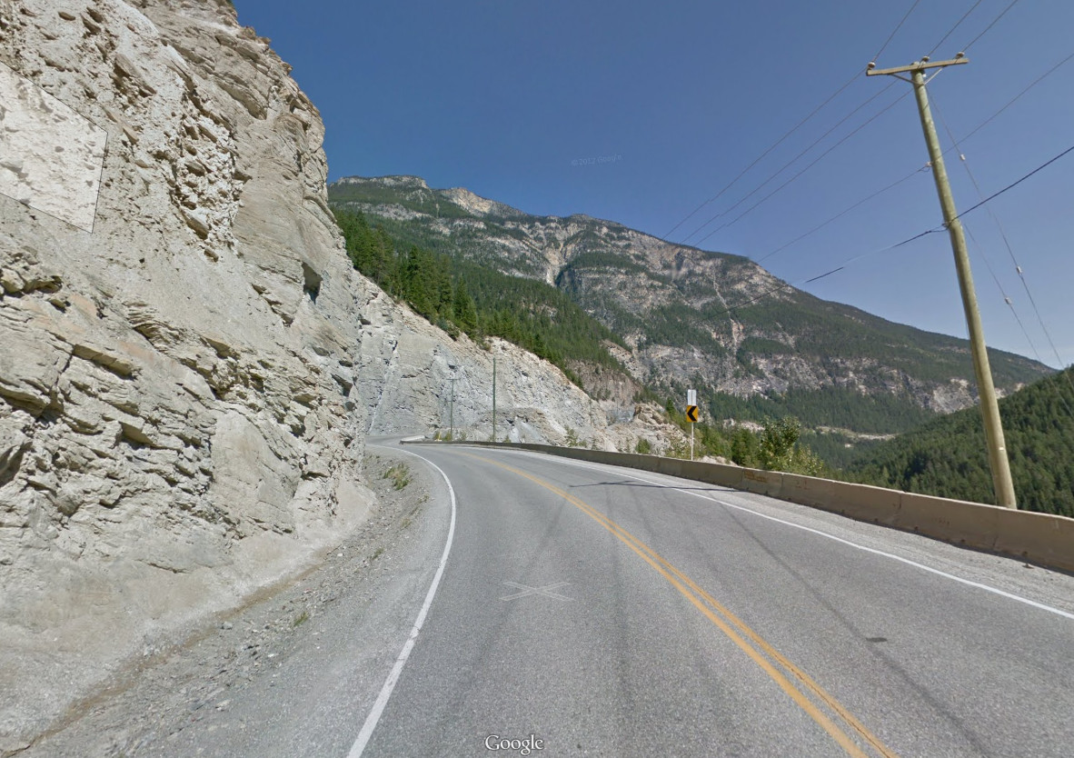
Soon we reached a relatively steep descent. After passing a huge cut with a runaway lane in front of it, we changed sides of the valley on an impressive bridge. Due to the strong gradient and the traffic we renounced photo breaks and have loaded here therefore a cutout from Google Streetview into the picture gallery. During the subsequent break for the brakes on a rest area, we could photograph the bridge then still.
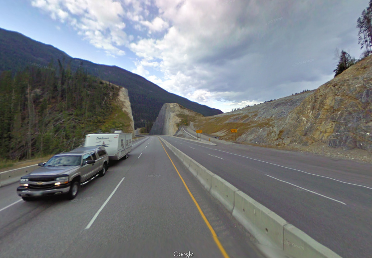
Afterwards the less beautiful part of the TCH followed. After another change of the valley side, the road began to climb again. Thereby "nicely" the hard shoulder and soon also the second lane per direction was waived :-/ Fortunately, the partly only slightly faster trucks drove very considerately. At the end of the climb, the road then became really narrow, so that in some places a maximum speed of 40km/h was signaled. Fortunately, it quickly went down again, so that we could reach the maximum speed and so no one had to overtake us.
Shortly before Golden, the road was then upgraded to highway level again. Since this does not mean in Canada that the exits are not free of crossings, we were then allowed to lane in an 8% gradient at 100km/h maximum speed (for us "only" 60) to turn left. Even with moderately heavy traffic, this is not exactly our favorite activity :-/
Due to the traffic, the potholes and the truck/car parts on the shoulder, this was one of the most exhausting descents in Canada.
After a well-deserved shower, we ate z'night in a traditional restaurant with the Canadian couple we had met late in the morning. Once again it was difficult to choose a burger from the large selection. During the meal they told us that they had not told us about the less beautiful parts of the TCH. That was probably better :-)