Back to the hills and redwoods.
After a "half day of rest" where we just rode from the state park to Crescent City and diligently updated our blog there, we headed south again.
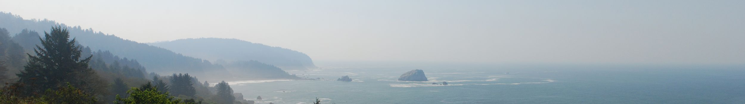
When we left Crescent City, we started the ride on the last of our four Adventure Cycling Association maps. For the first time on our trip, the distance information boards, next to the road, indicated our destination of San Francisco.
In two big climbs we overcame more than 700 meters of altitude. The second was more strenuous, despite less elevation gain, due to the afternoon temperatures.
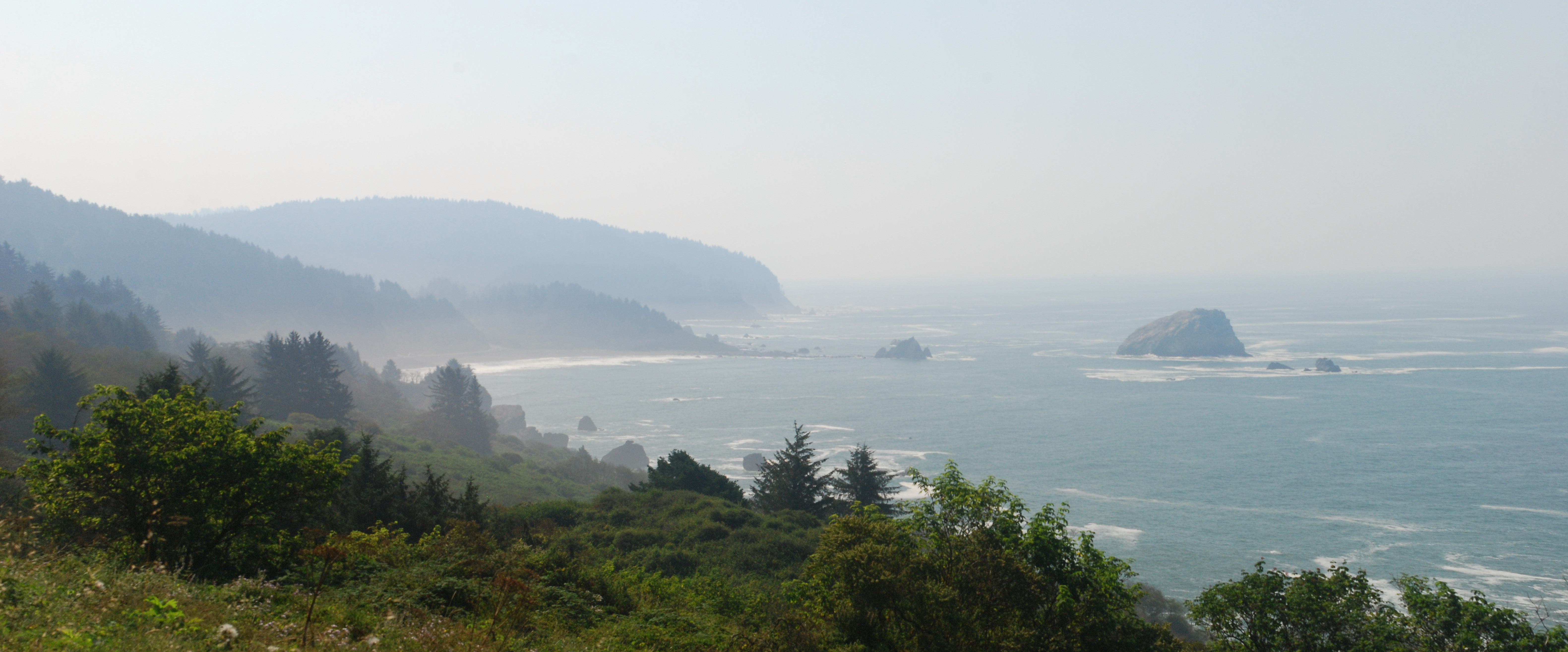
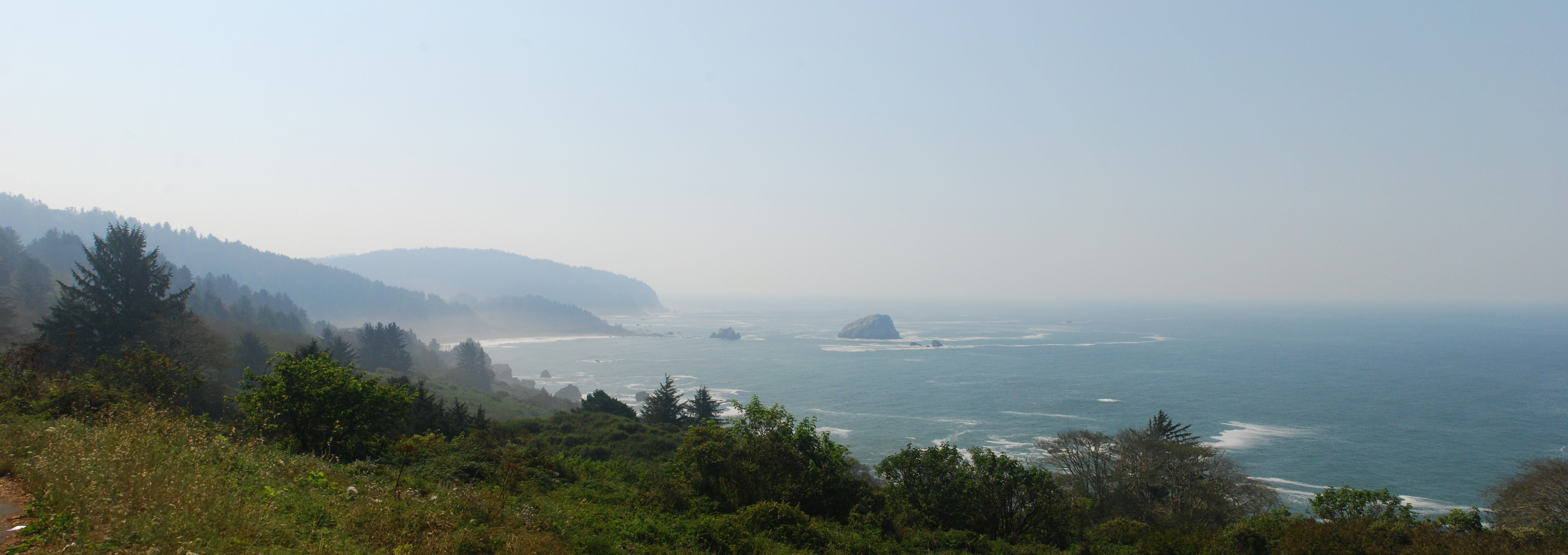
On the way, Highway 101 became a freeway several times. Nevertheless, the traffic was still relatively low, so that it was pleasant to drive. At a narrow bridge we cyclists were even recognized by a ground loop, so we didn't have to press a button to activate the warning flashing light for the car drivers.
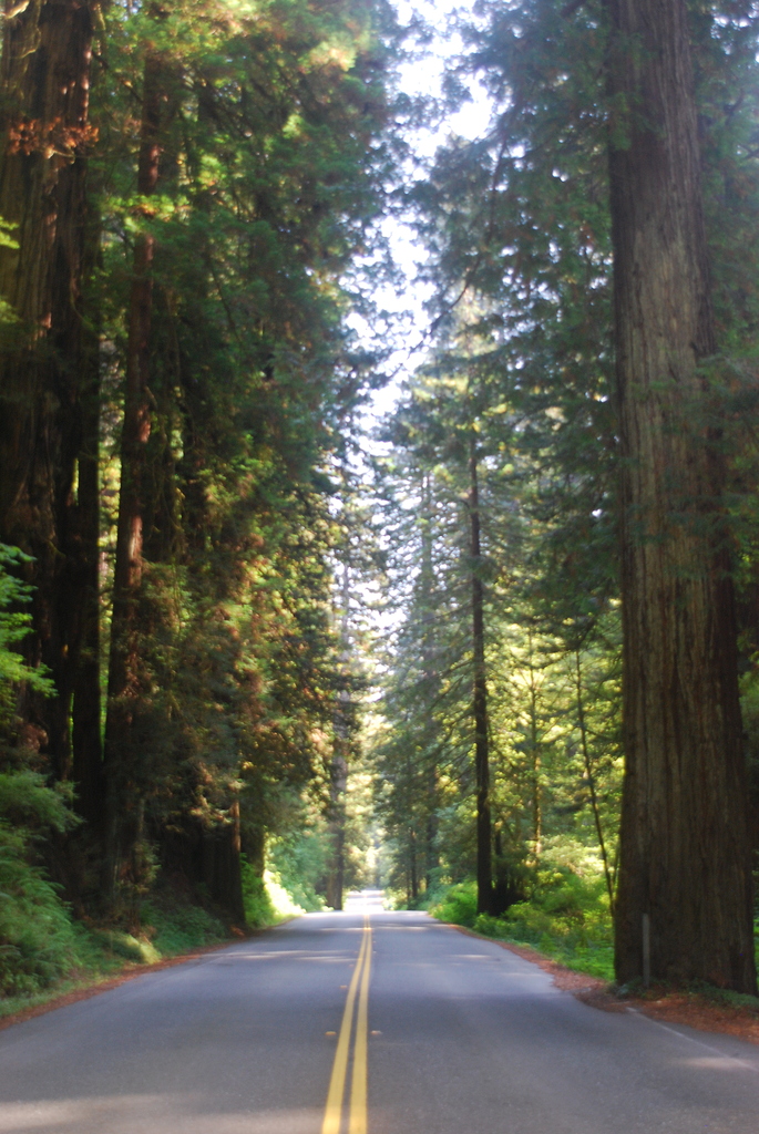
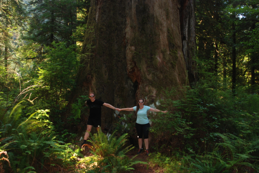
In all the forests along the route we could marvel at mighty redwoods. In particular, the section in Prairie Creek Redwoods State Park was lined with huge trees, which darkened the forest a lot, even during the day.
At the state park campground, we once again met many cyclists (over 10 people). Some of them we had met days earlier on the road or at campgrounds.