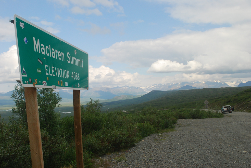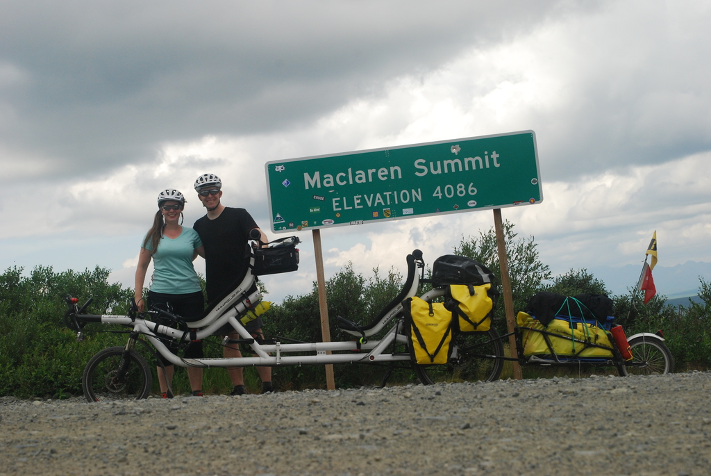
On the fourth day of the tour we crossed Maclaren Pass, the second highest pass with a public road in Alaska.
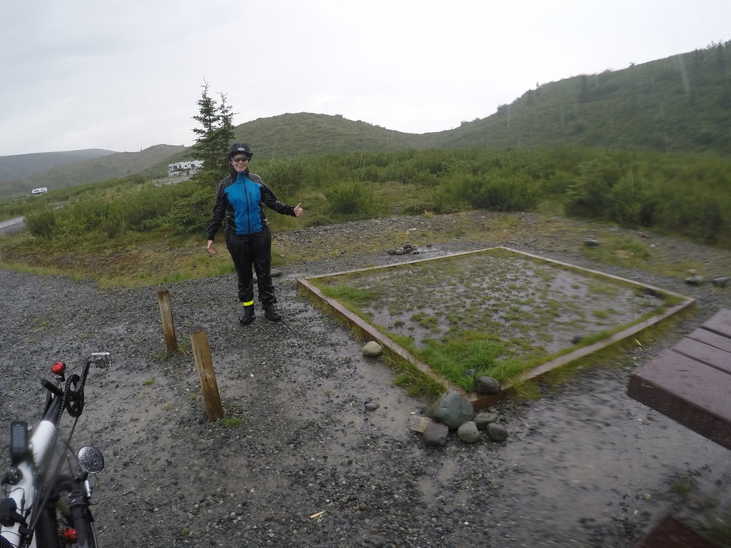
After a fortifying breakfast at the lodge, the strenuous climb up Maclaren Pass began. We had already been told that this would be a strenuous 3 miles. From the river at 880m to the highest point at 1245m it was finally 10km, which we covered with an average of 5km / h. Excitingly, the pass sign was about 100m below the top of the pass, as the view at the top of the pass is not that spectacular.
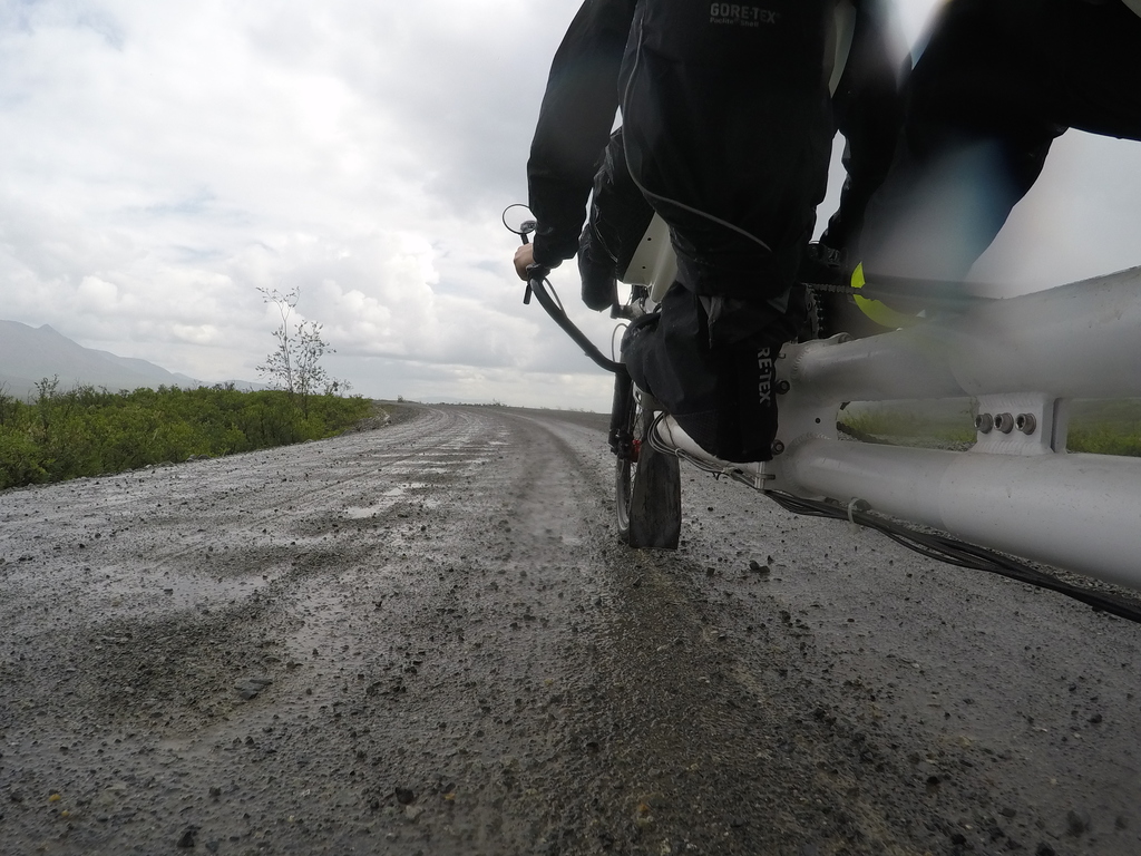
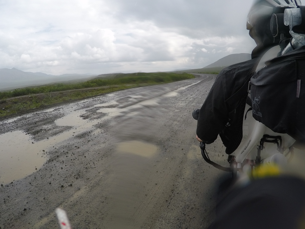
Shortly after the (correct) pass summit, the weather unfortunately deteriorated to the point that it started to rain and we had to continue in full rain gear. The rain at least had the advantage that because of the water the potholes became more visible. :-) The wet/dirty road was also the proof test for the fender extensions that Rana had made from the trip. These proved themselves wonderfully.
After a few miles, we finally reached a solid road surface again. It was wonderful to roll with much less resistance!
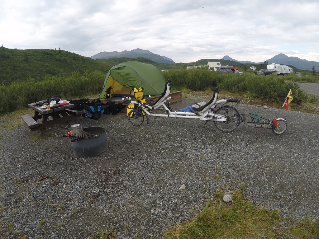
Upon reaching the tent site at Tangle Lake, it began to rain heavily again. The regular walk-in tent sites were already occupied by a group from the Adventure Cycling Association. So we had to look for a regular site with a passable pad.
But the group of the Adventure Cycling Association was a stroke of luck for us! We were able to borrow a gasoline bottle from them to cook dinner. Further the tour leader glued our defective bottle provisionally and without guarantee with epoxy resin. In addition, we received many tips for our further tour planning.