Last Saturday we did a very strenuous day trip over Gebbies Pass and Summit Road.
Yesterday we made a new tour over the Gebbies Pass. First we drove west out of Christchurch, towards Akaroa along State High Way 75 to Motukarara.
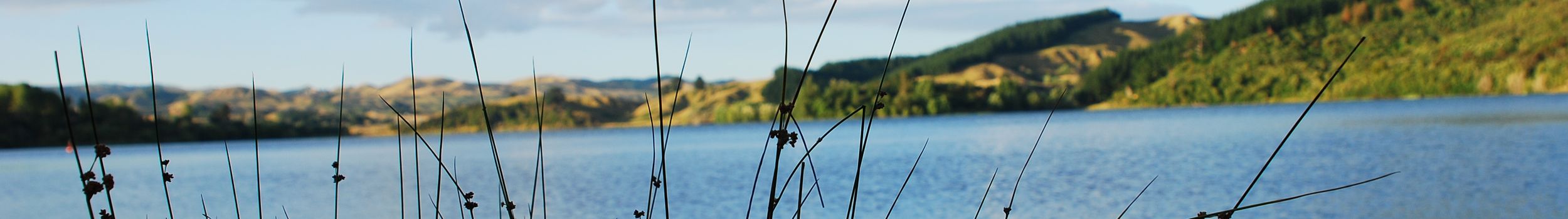
In Motukarara we admired a part of the Little River Trail, a bike path as a remnant of the old railroad to Little River. At the former station, a railroad car still stands on a small piece of track. After the short railroad show stop, we turned onto a small road into the hills. We drove through Gebbies Valley and then on up Gebbies Pass. On the way we realized that we had chosen a very strenuous route. In between we wanted to have a lunch break. But in the end it remained with the wanting, because the stove didn't really want to work. We ate an apple, 2 tomatoes, peanuts and a piece of watermelon instead of pasta and sauce. The ride continued up a hill ridge (hence Summit Road). On the way, an airplane flew over our heads every 3 minutes. Later we saw that this small one-man airplane was loading fertilizer or spray on a high airfield and then spreading it over the fields further down. When we finally got to the top, the weather that was so nice and warm at first was gone. It was very hazy and gray, so it wasn't worth digging the camera out of the trailer.
The rest of the way over the hill crest and the descent from Dyers Pass was then not so strenuous.
Oh yes, under the menu item Map you can find a map with our travel routes.